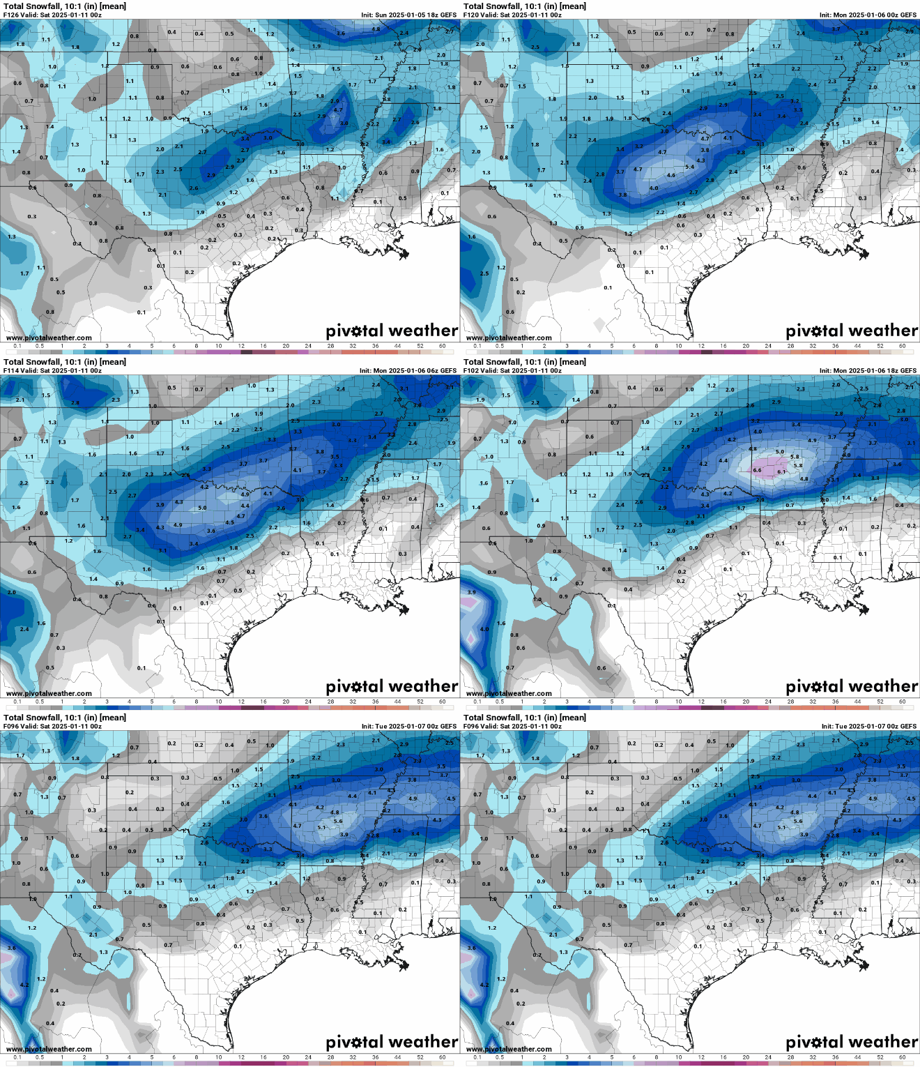
#3325 Postby HockeyTx82 » Mon Jan 06, 2025 11:56 pm
Okay so bookmark this and please any professional meteorologist correct anything that I posted if I'm wrong. Since we seem to be going completely nuts with global models I felt compelled to put this together based off some research that I did.
It seems that we're in the transition period between where the globals are no longer valid or as useful for our very near forecast of potential snow.
The main difference between global models and more honed-in (regional) models lies in their **grid space allocation** for forecasting:
### **Global Models**
- **Coverage**: Simulate the Earth's entire atmosphere
- **Resolution**: Typically have a horizontal resolution of **10-20 km**
- **Forecast Range**: Can forecast up to **10-15 days** ahead
- **Purpose**: Best for predicting large-scale weather patterns like hurricanes, mid-latitude storm systems, and major heat waves/cold snaps
### **Regional Models**
- **Coverage**: Focus on a specific region, such as North America
- **Resolution**: Have a higher horizontal resolution, often **1-3 km**
- **Forecast Range**: Usually for shorter time frames, like **up to 2-3 days**
- **Purpose**: Better at predicting localized weather phenomena like severe thunderstorms and convection.
In essence, global models provide a broader view with less detail, while regional models offer more precision for smaller areas but over shorter periods.
When forecasting winter weather for North Texas, it's best to start with **global models** to get an initial sense of large-scale patterns and potential weather systems moving into the region. Once the global models indicate a significant weather event (like a cold front or winter storm) approaching within **3-5 days**, you can then switch to **regional models** for more detailed and accurate predictions.
Regional models will provide better insights into the timing, intensity, and specific impacts of the weather event on a local scale, which is crucial for winter weather forecasting in areas like North Texas.
Here's a list of some commonly used weather forecasting models:
### **Global Models**
1. **Global Forecast System (GFS)** - USA
2. **European Centre for Medium-Range Weather Forecasts (ECMWF)** - Europe
3. **Global Environmental Multiscale Model (GEM)** - Canada
4. **UK Met Office Unified Model (UKMO)** - United Kingdom
5. **ACCESS-G** - Australia
6. **ARPEGE** - France
7. **CMA Model** - China
### **Regional Models**
1. **North American Mesoscale Model (NAM)** - USA
2. **High-Resolution Rapid Refresh (HRRR)** - USA
3. **ICON-D2** - Germany
4. **EURO4** - Europe
5. **Swiss HD** - Switzerland
These models vary in their resolution, forecast range, and specific applications. Global models provide broader coverage and longer-range forecasts, while regional models offer higher resolution and more detailed forecasts for specific areas.
When global models and regional models disagree, it's often best to lean towards the regional models for more localized and accurate forecasts. For North Texas, the **High-Resolution Rapid Refresh (HRRR)** and **North American Mesoscale Model (NAM)** are particularly reliable for short-term weather events like snowstorms.
Given the situation you described, where the global models have swayed away from the significant snowstorm but the regional models are still showing potential, the regional models (HRRR and NAM) would likely be more accurate for predicting the actual weather impact in North Texas.
Given the scenario where the GFS and Euro models are no longer predicting a snowstorm that they initially showed, here are some steps to consider:
1. **Timing**: As you get closer to the event (within 1-3 days), regional models (like HRRR and NAM) become increasingly reliable.
2. **Consistency**: If regional models continue to show the potential for snow while global models have trended away, lean more towards the regional models.
3. **Expert Analysis**: Pay attention to local meteorologists and weather service updates. They often interpret model data and provide insights based on their expertise.
4. **Blending**: Sometimes, combining insights from both global and regional models can provide a more comprehensive view. Look for common trends and consider the range of possible outcomes.
In short, when you're within a few days of the expected event and regional models consistently indicate snow, it's generally safe to place more trust in those regional models over the global ones.
So imagine having a square and in that square you have 20 squares and divide that into four quadrants. The global models see the entire Square as one square but yet the regional models can actually see individual squares within each quadrant and can isolate and forecast based off those individual squares down to a single square.
9 likes
Don't hold me accountable for anything I post on this forum. Leave the real forecasting up to the professionals.
Location: Ponder, TX (all observation posts are this location unless otherwise noted)

 The posts in this forum are NOT official forecast and should not be used as such. They are just the opinion of the poster and may or may not be backed by sound meteorological data. They are NOT endorsed by any professional institution or STORM2K.


