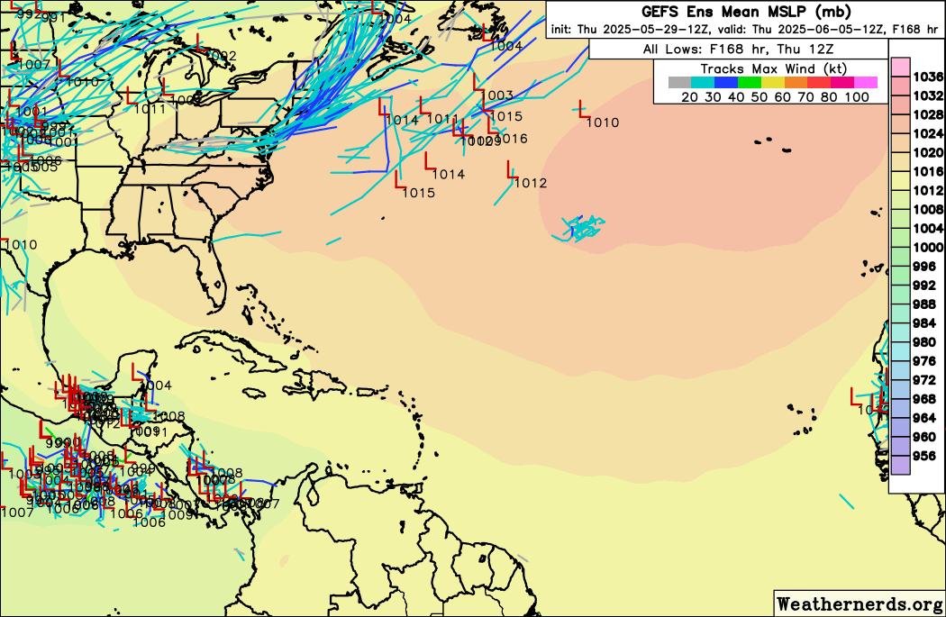
Teban54 wrote:Significant increase on 12z GEFS for the Western Caribbean / Gulf system in the 8-10 days time frame, compared to earlier runs.
The Euro ensembles show a few lows, but are largely unenthusiastic. Let's see if this sticks on the GEFS.
https://i.postimg.cc/Y0Wp7Ynw/43504624.gif
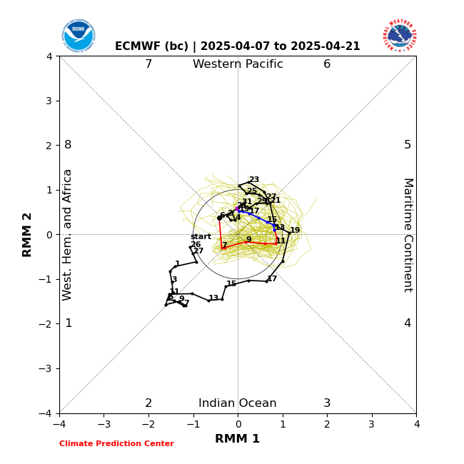
If what I heard about the GFS and its enthusiasm for generating TCs in the W. Carib hasn't changed from a met now at NHC hasn't changed in ~10 years, the GFS uses a simplifying assumption that latent heat from convection only travels vertically, then the GFS ensembles may be too enthusiastic in generating TCs from persistent convection. I believe, unlike the Euro ensembles, which now have the same resolution as the op, the GFS ensembles are lower resolution than the operational model. But even if only a few ECENS show it, it can't be ruled out.
The lonely Euro ensemble member with a 989 mb high end TS/low end hurricane hitting near Cameron, LA week from Sunday is interesting.