wxman57 wrote:Extratropical storm surge page indicates tides 1-2 ft above normal as Erin passes. Surf's up Tue-Wed. I still see nothing to indicate Erin is still a Cat 3. The NHC always plays it safe and never downgrades a storm that's impacting any land areas. Can't fault them for that. It's quite normal for a hurricane's wind field to expand after an eyewall replacement. Erin's going to get very large by the time it passes between Bermuda and the OB.
https://slosh.nws.noaa.gov/etss/index.php?glat=All&display=0&type=stormtide&base=Ocean/World_Ocean_Base
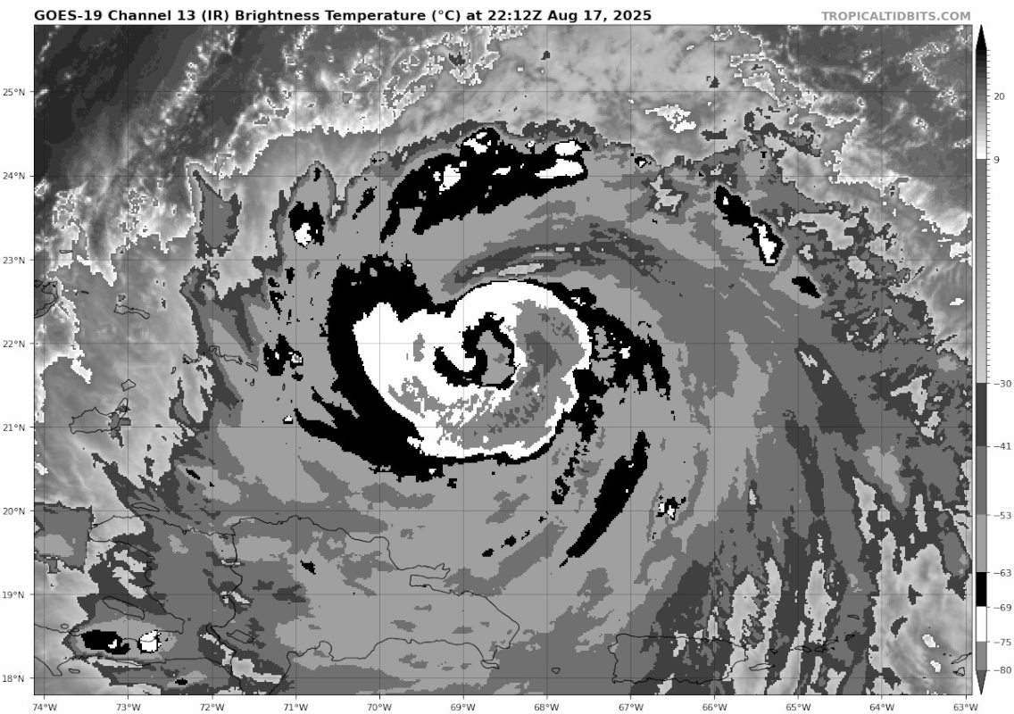
Recon will be able to confirm current intensity soon, and since it's only 1930z now, they should be able to factor that in on the 21z complete advisory. The 18z subjective Dvorak fix was a 5.0 (albeit with objective satellite estimates remaining a little higher), so if recon doesn't find strong support for 100-kt surface winds a downgrade to 90~95 kts would be justified. I do agree that it's hard to fault them for playing it safe here - with land impacts ongoing it's better than the alternative.