AL, 95, 2025100618, , BEST, 0, 92N, 375W, 25, 1010, DB

Moderator: S2k Moderators


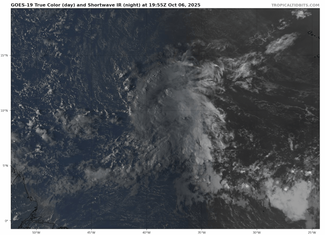

abajan wrote:18z Best Track:AL, 95, 2025100618, , BEST, 0, 92N, 375W, 25, 1010, DB
IsabelaWeather wrote:abajan wrote:18z Best Track:AL, 95, 2025100618, , BEST, 0, 92N, 375W, 25, 1010, DB
That appears to be the same as 12z, seems more like its 9.5N and 39W
EDIT: it is the same as above because both are 18z


Users browsing this forum: No registered users and 90 guests


