#3111 Postby Haris » Tue Jan 20, 2026 5:18 pm
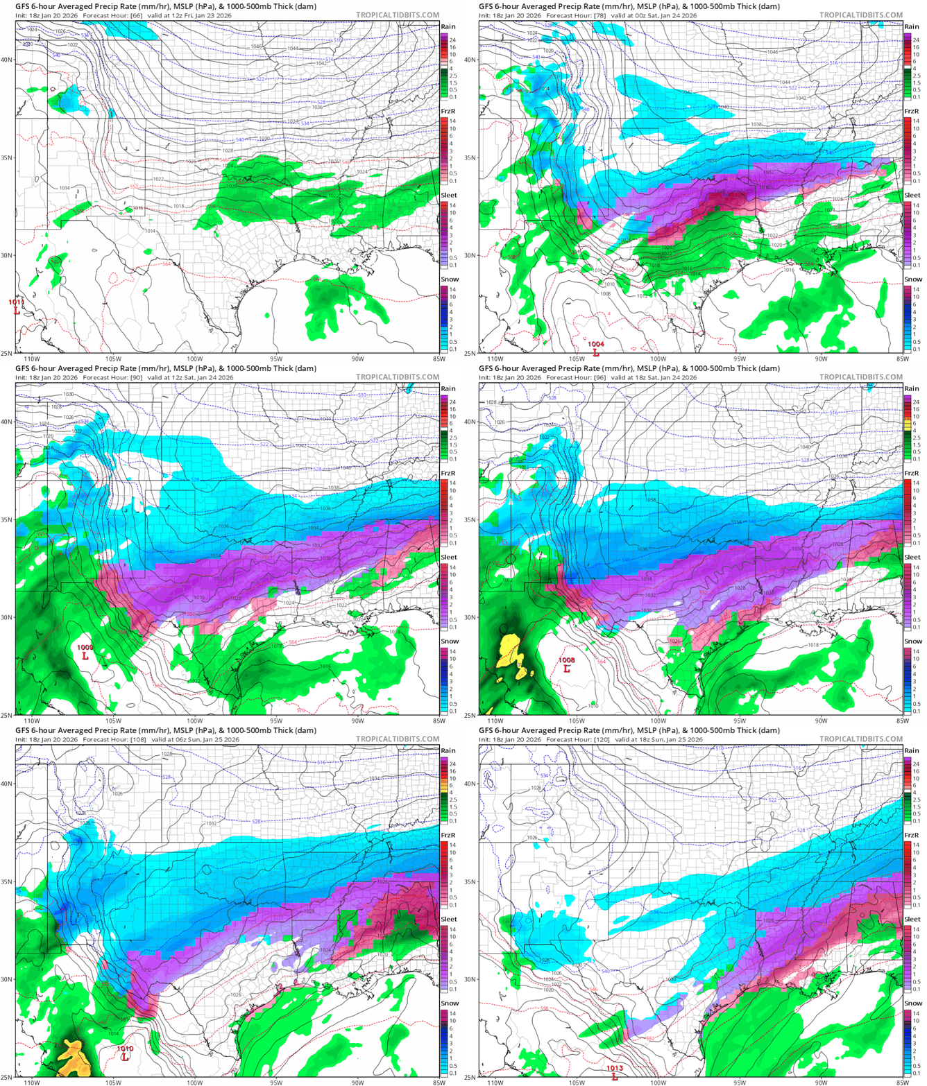
From what I interpret, chance of seeing frozen precipitation falling from the sky is 100% north of i10 at this point. The question is banding, and ptypes and that has more to do with the phasing (if) of the low and where/when that happens. A slower elongated track will allow the lower levels to cool enough to bring snowflakes anywhere from Oklahoma to Austin by Sat/night/Sun , with light freezing rain and sleet before. Totals in this scenario for snow across NTX would be near 3-7" IMO..
However, a faster phased low near NM with a neg tilt would allow heavier freezingrain/sleet for most of Texas N of i10, and less snow except maybe briefly between Waco and Red River Sat Night/ early Sunday. Maybe 1-3" if you are lucky. Either way, get ready!!
2 likes
Weather geek and a storm spotter in West Austin. Not a degreed meteorologist. Big snow fan. Love rain and cold! Despise heat!
 The posts in this forum are NOT official forecast and should not be used as such. They are just the opinion of the poster and may or may not be backed by sound meteorological data. They are NOT endorsed by any professional institution or


