
http://www.ssd.noaa.gov/PS/TROP/DATA/RT ... -loop.html
http://wwwghcc.msfc.nasa.gov/GOES/goeseasthurrir.html
Moderator: S2k Moderators


MWatkins wrote:Hate to put a damper on this system with my thoughts on it...but here they are:
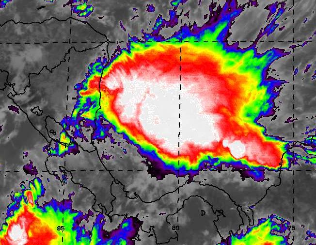
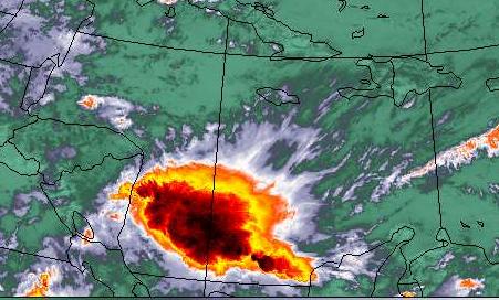
1. There is tons of shear down in the Caribbean...and this shear is forecast to persist for the next 7 days...although upper conditions are forecast to get a little more favorable south of 20N by days 6 and 7. Latest shear analysis from CIMMS suggests 20 to 30 knots at least:
http://cimss.ssec.wisc.edu/tropic/real- ... g8shr.html
2. There are no indications that this convection is surface based...in fact all of the shear is creating some upper divergance which is enhancing thunderstorm activity down there.
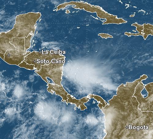
3. If anything were to develop until it will probably result from the low in the EPAC. The UKMET does want to develop a TC in 5 days or so but it's entire possible that nothing gets going.
In any event...if a perfect confluence of events occurs and western Caribbean development does occur... strong shear past 20N means it will never become a problem for the US mainland.
Just my $0.02.
MW

