skysummit wrote:That's the same image.
Here's the current image:
http://cimss.ssec.wisc.edu/tropic/real-time/atlantic/winds/wg8shr.html
Yes...shear has decreased rather dramatically west of 70
Moderator: S2k Moderators
skysummit wrote:That's the same image.


skysummit wrote:stormchazer wrote:I guess not...Recon was cancelled.
I know it was cancelled....earlier this morning. I just noticed this in the past few minutes.


stormchazer wrote:I know this was earlier, I was just mentioning what the last observations were showing. As I said, it looks promising but the jury is still out right now, at least according to the NHC. I assume thats why they cancelled the Recon.

Thunder44 wrote:stormchazer wrote:I know this was earlier, I was just mentioning what the last observations were showing. As I said, it looks promising but the jury is still out right now, at least according to the NHC. I assume thats why they cancelled the Recon.
They cancelled the recon at about 9am this morning.
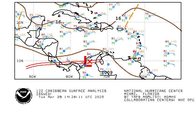
Matt-hurricanewatcher wrote:It looks much better oreganized then 92L. The shear maps shows that it has a upper level high. In it has nice curving to the clouds. That data shows a west winds to the south of the cirulation. While farther up in the chain of islands I saw a northeast wind. tropical depression 9 of a few years ago was upgraded with one ship report that reported west wind. In later found to be Bs. This is a sure thing because you can't get 3 or 4 islands saying the same thing. I don't understand why a special statment is not coming out.


Users browsing this forum: No registered users and 101 guests